The hand-drawn map was made 430 years ago by Urban Monte. Several centuries later, collector David Ramsey and his grandson patiently scanned and digitally merged the 60 pages that were part of the atlas. They first compiled the map as it should have looked like.
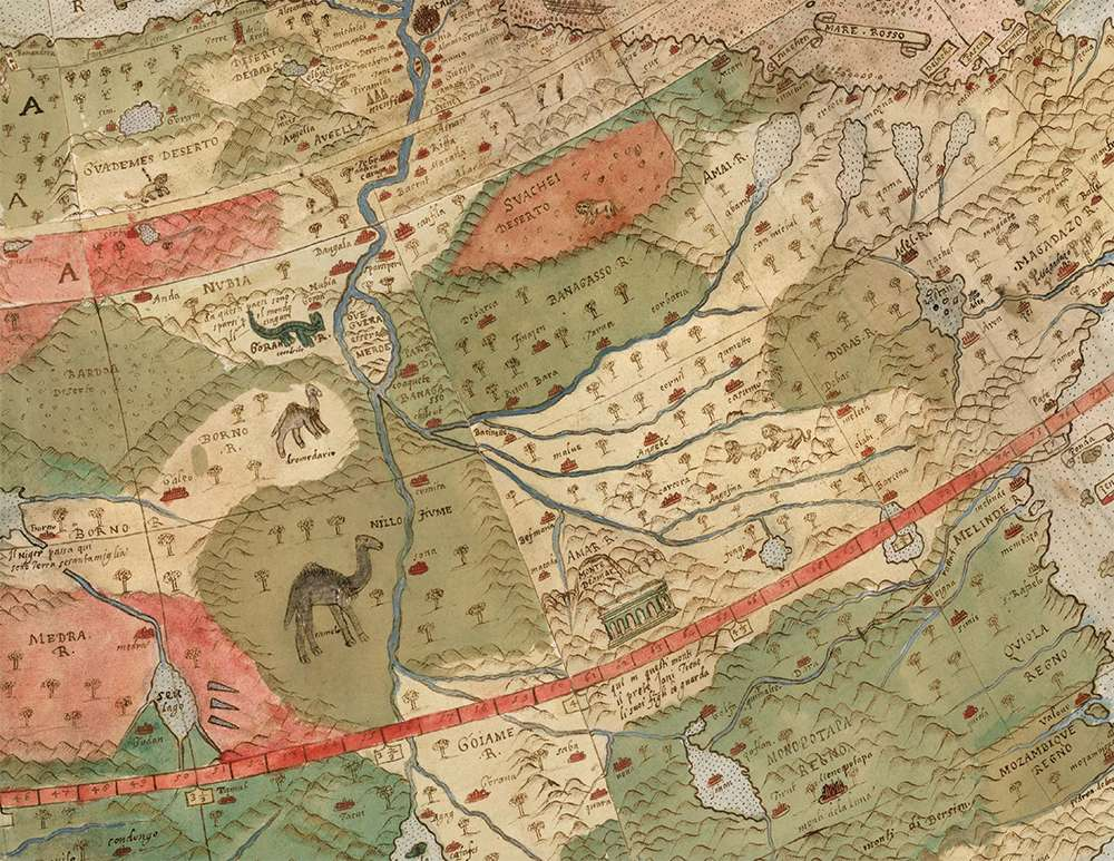
Although very little is known about the cartographer of the 16th century who made it, the map gives us a good insight into how people understood the world at that time.
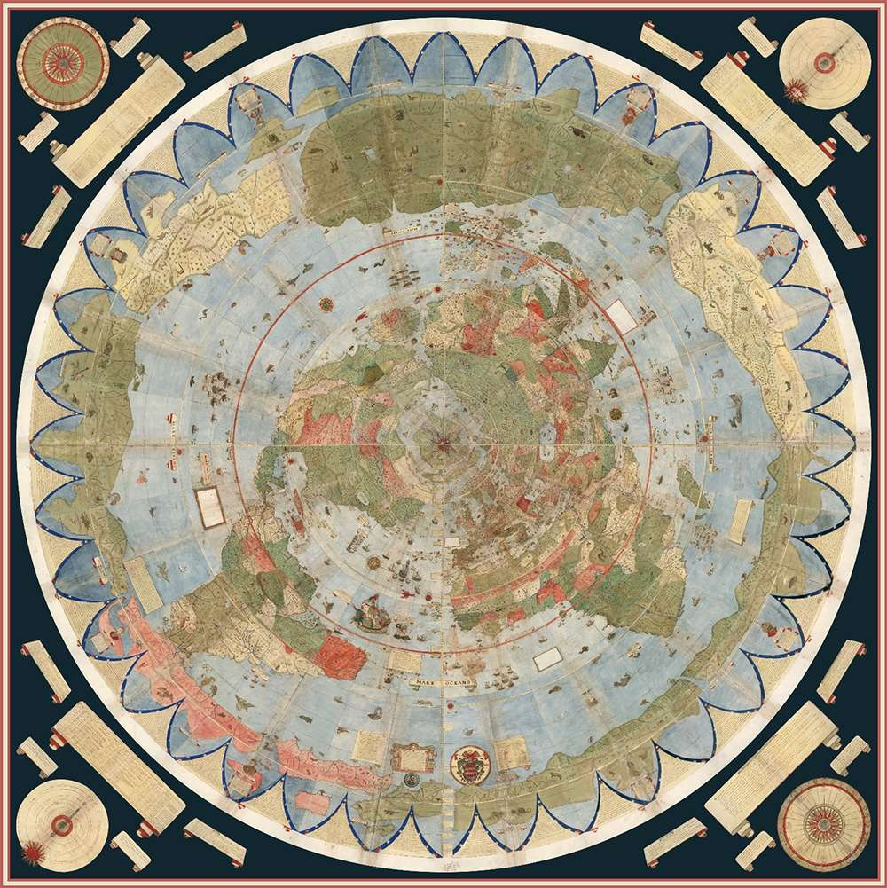
The map, created in 1587 in Milan, Italy, displays many details and is well ahead of its time. The world is depicted from above, looking from the North Pole. This perspective was rarely used at that time. Monte presented Japan with many more locations than other cartographers of that period. Most likely the reason for this is that Monte met with a delegation from Japan in 1585.
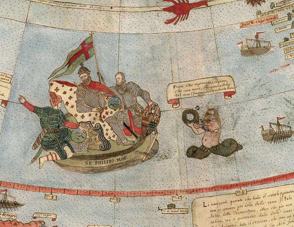
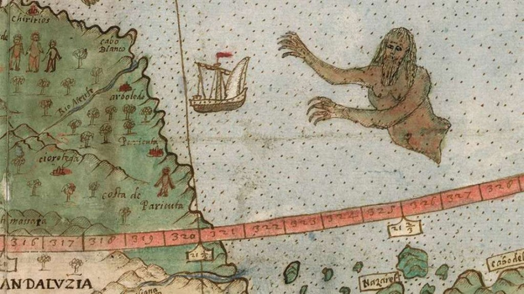
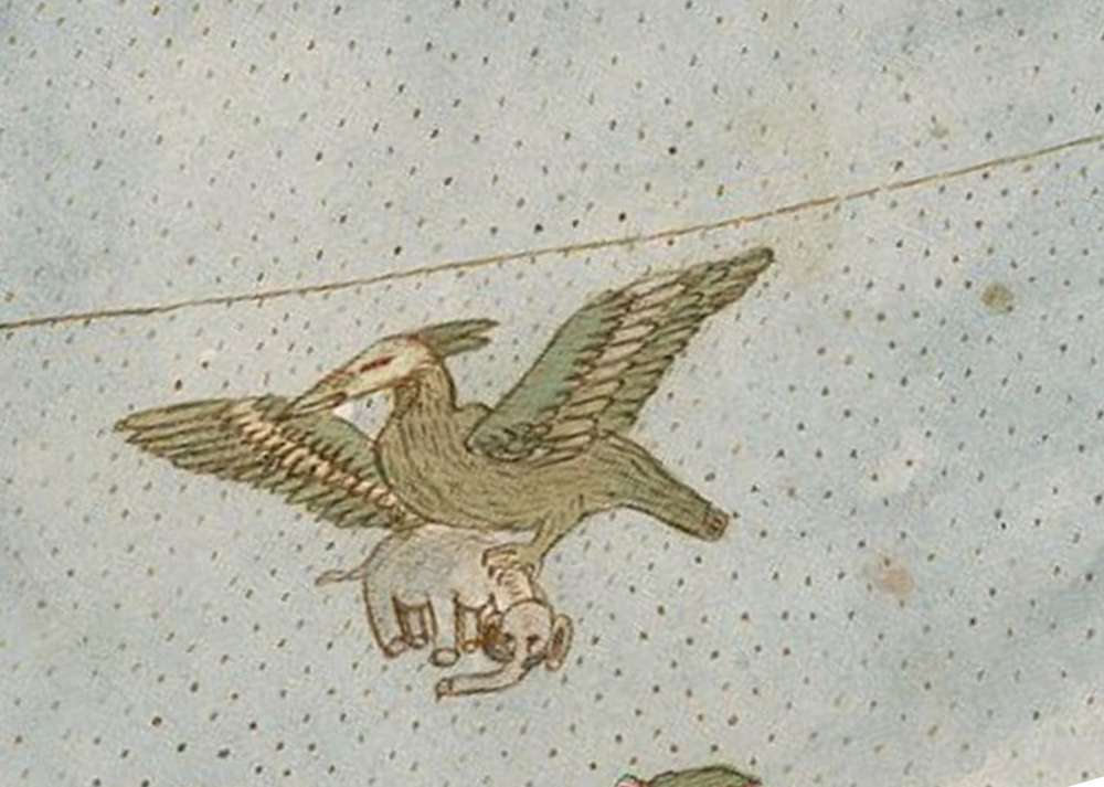
However, the map also shows some strange things, like unicorns and ships attacked by sirens. Perhaps it does not even compare with Google's maps, but it's really amazing to see how people imagined the world so many years ago.
The unusual shape of the map, a circle viewed from above, is because the cartographer wanted to display the correct shape on Earth.
"Monte wanted to display the entire Earth as close as possible to a 3-dimensional sphere using a 2-dimensional surface. His project does exactly that, despite the distortion of the South Pole, "Ramzi said.